|
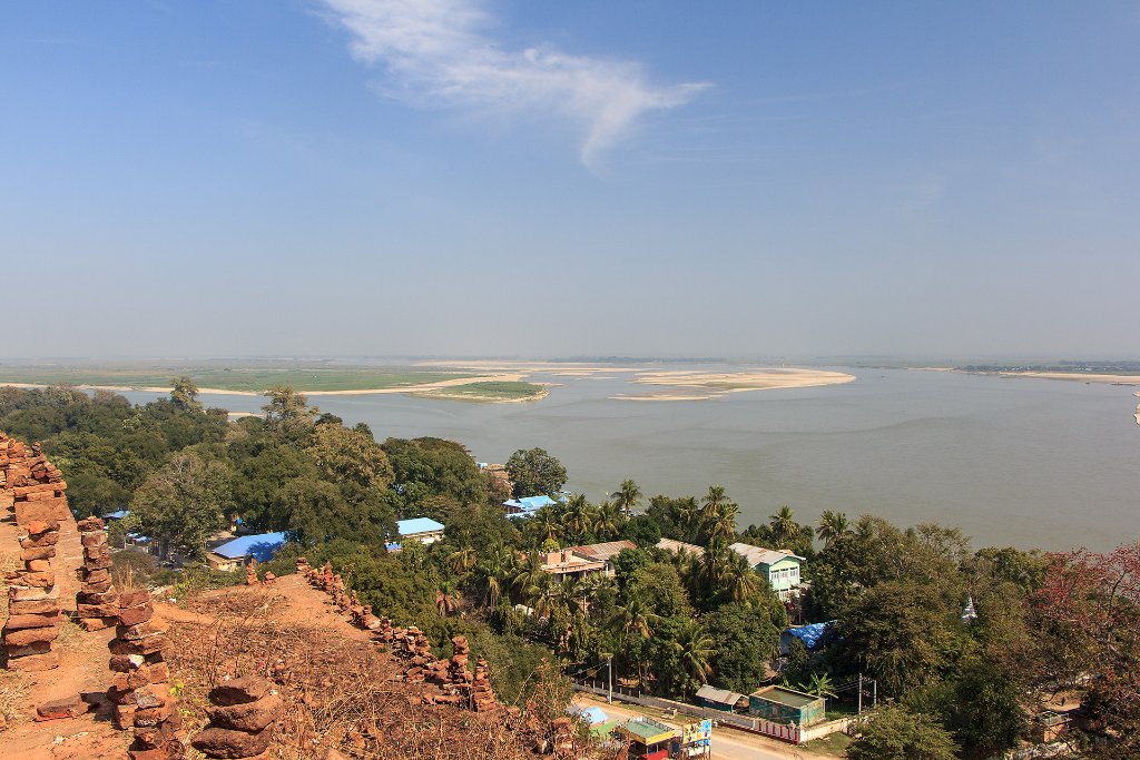 |
| 07-Irrawaddy River from the top of the Pa Hto Taw Gyi Pagoda | |
| Latitude: N 22°3'3,35" | Longitude: E 96°1'4,01" | Altitude: 123 metres | Location: Pahtodawgyi | State/Province: Sagain | Country: Myanmar | Copyright: Ron Harkink | See map | |
| Total images: 15 | Help | |